The Klebelsberg, otherwise known as the Gallstöckl, stands at the junction between the tracks to the Lamprechtsburg and Reischach. The chapel probably owes its colloquial name of Gallstöckl to the von Gall family, which took over the Teissegg residence in Oberragen in the 17th century.
In August 1875, the Pusterthaler Bote reported that the Bruneck town improvement society had laid a path from the Gallstöckl shrine to the Finsterbrünnl fountain, where a “lovely place in the forest” with tables and benches offered rest for travellers. The society chronicle reported that the Finsterbrünnl fountain had been furnished “with pipes and a water column” and enclosed by a fence.
The town improvement society founded in 1870 set about repairing the tracks on the Kühbergl, in the Klebelsberg woods and to Lamprechtsburg castle. Soon a network of paths, benches and tapped springs covered the area that today is known as “Sternwaldele”.
The frequent landscape markers such as the Gallstöckl served as signposts. There were chapels, shrines and wayside crosses on almost every path. For centuries they had served as places of divine protection and prayer.
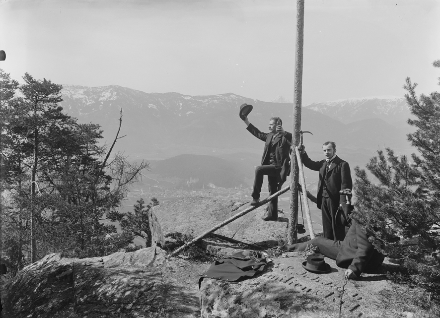
The summit crosses that were increasingly erected from the end of the 19th century also held this dual function as symbols of devotion and markers in the landscape. Added to these were pavilions, viewing points and signposts such as can still be found along the hiking trails today.
 Orte entdecken

